Laser Scanning
Geoimaging, based on years of experience and knowledge utilizes all technological means to provide comprehensive services in the field of surveying and geoinformatics.
In the frame of contemporary needs, Geoimaging, having modern equipment and high level of expertise provides Photogrammetry & Laser Scanning. 3D laser scanning enables a precise three-dimensional measurement of objects of different type and size. 3D Laser Scanning technology is a faster and more accurate way to capture as-built measurements. The laser scanner technology is highly accurate and requires less time, in most cases 60% less time, which saves you money.
Advantages of 3D Laser Scanning

Our services
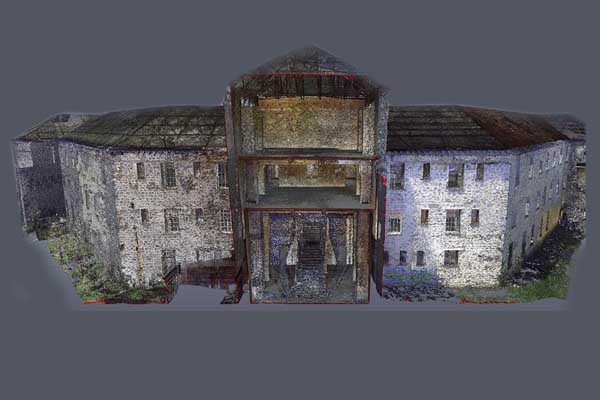
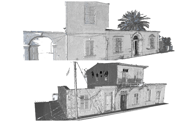
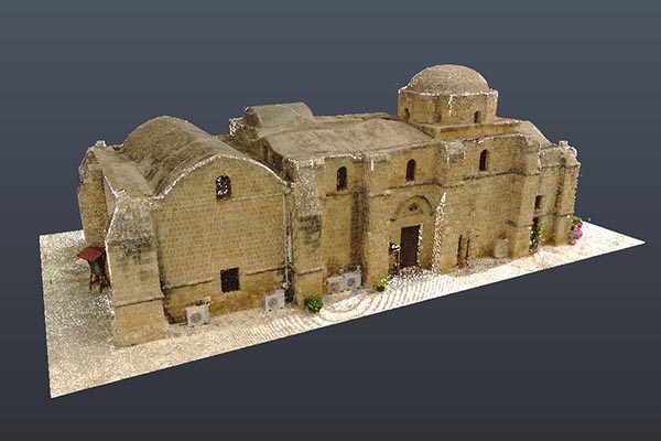
Monuments mapping
3D data helps archaeologists and historians to restore historical monuments with a very good accuracy and with much lower costs.

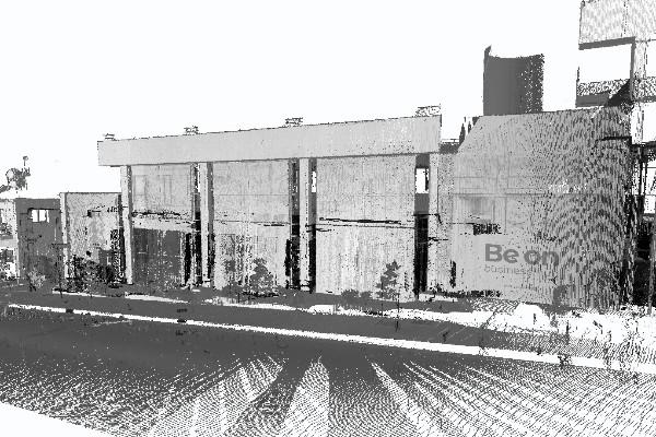
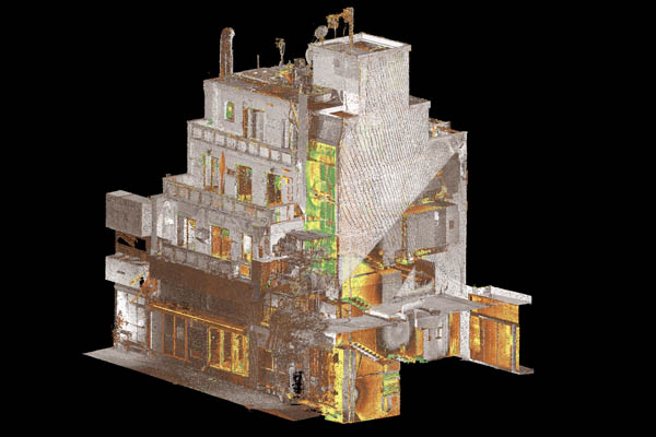
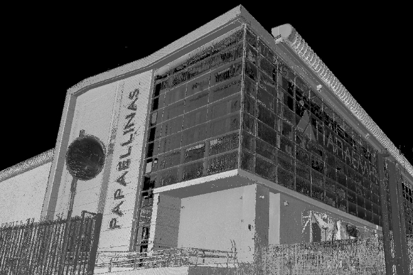
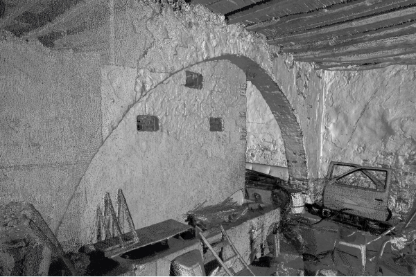
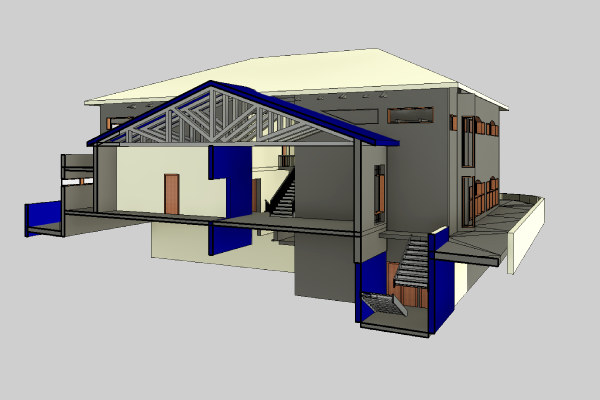
Building 3D Scanning
3D Scanners can capture buildings and structures of any size to create as-built models for your BIM applications.

360° Virtual Tours
We create professional 360° Virtual Tours from panoramic images, which allows you to navigate virtually
Products
Laser Scanning Service information
Find what you are looking for Here
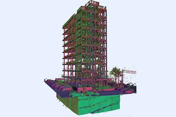
Laser scanning is the fastest, most accurate, and automated land surveying method to acquire 3D site measurements from objects, buildings, and landscapes. Laser scanners collect information in the form of point cloud data, which consists of millions of 3D coordinates (XYZ coordinates).
If your project requires accurate and highly dense data, then terrestrial laser scanning is the best solution! The advantages of this service are that it provides rapid data capture and comprehensive coverage data acquisition while increasing safety and reducing the need for revisiting sites for pick-up work. The archive of 3D data allows future reference and automatically captures data in 3D, providing significant detail on modelling and measuring.
This is especially interesting for older buildings that often do not exhibit any regular geometric features. Difficult-to- access objects such as facades and roof constructions can be efficiently dealt with using laser scanning.