Topographic Surveys
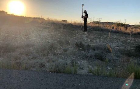
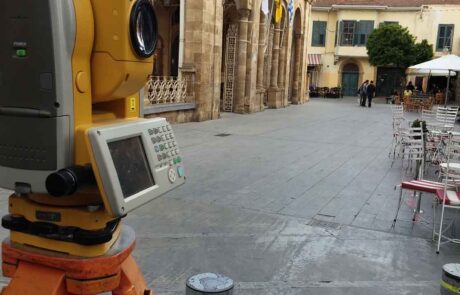
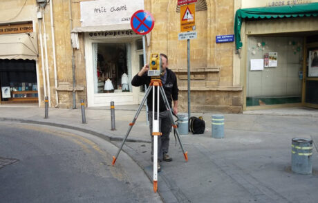
GeoImaging Ltd is a Cypriot leading company in the field of Surveying Services. Since 2002, using technologically advanced means of terrestrial surveying, its experienced manpower delivers high quality services to clients of both private and public sector.
Geoimaging ‘s department of survey studies provides services in all areas of surveying and field measurements such as :


