 Geoimaging, based on years of experience and knowledge utilizes all technological means to provide comprehensive services in the field of surveying and geoinformatics.
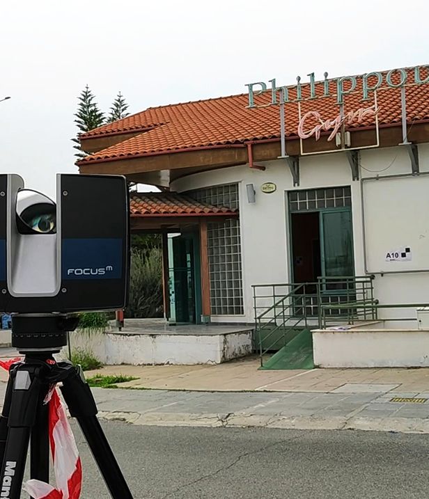
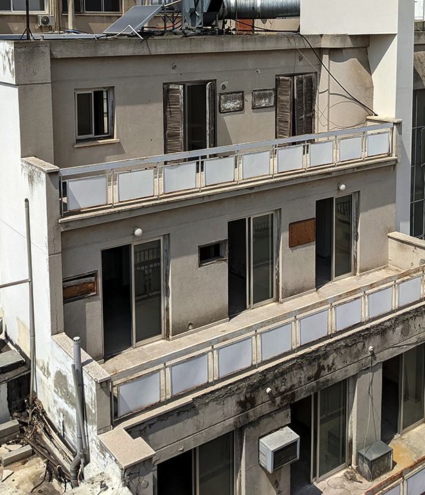
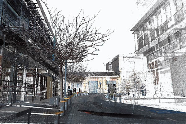
In the frame of contemporary needs, Geoimaging, having modern equipment and high level of expertise provides Photogrammetry & Laser Scanning. 3D laser scanning enables a precise three-dimensional measurement of objects of different type and size. 3D Laser Scanning technology is a faster and more accurate way to capture as-built measurements. The laser scanner technology is highly accurate and requires less time, in most cases 60% less time, which saves you money.
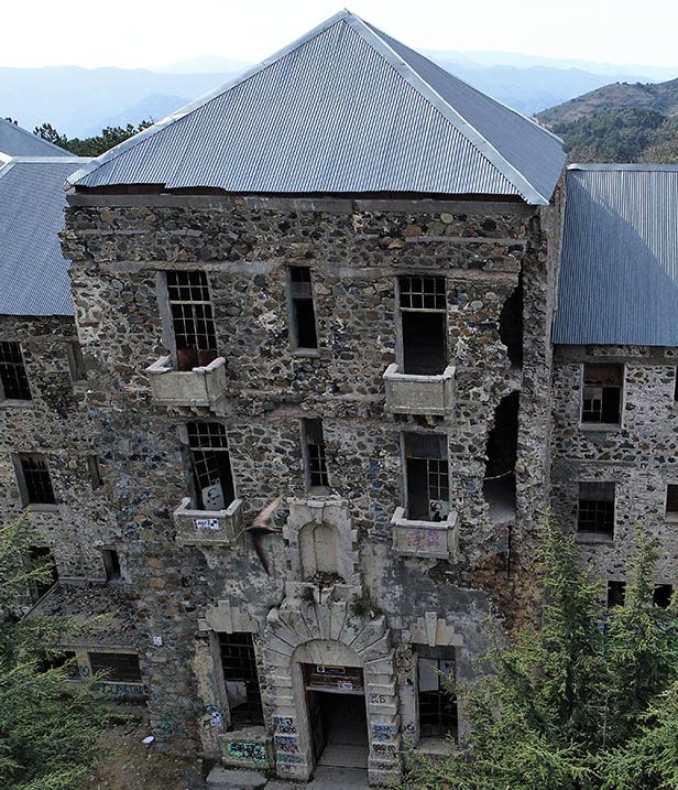
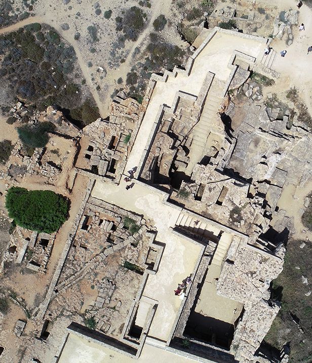
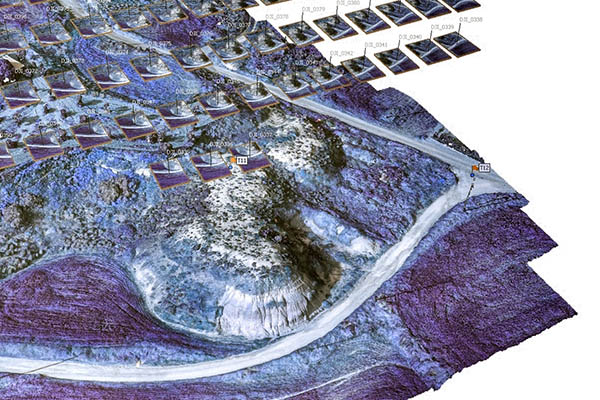 Geoimaging follows the evolution of technology in terms of Unmanned Aerial Vehicles (UAV). The experienced and trained staff offers integrated services in the following areas:
- Orthophoto maps production
- High Precision mappings (2D / 3D)
- Monitoring of activities and technical projects
- DTM Development
- Mappings of archaeological monuments
- Cadastral studies , urban extensions , hydraulic and road construction
- Environmental applications
- Supervision of municipal property and forests
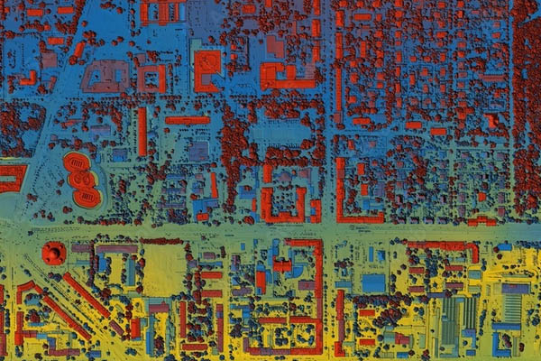 A geographic information system (GIS) is a system designed to capture, store, manipulate, analyse, manage, and present all types of geographical data. The key word to this technology is Geography – this means that some portion of the data is spatial; data that is in some way referenced to locations on the earth.
GIS can be used as a key solution in decision making processes, as well as for spatial data visualization. Many different types of information can be compared and contrasted using GIS software. The system can include data about people, such as population, income, or education level. It can include information about the landscape, such as the road network of an area, the location of rivers etc. GIS can also include information about the underground utilities networks such as water supply networks, gas lines etc.
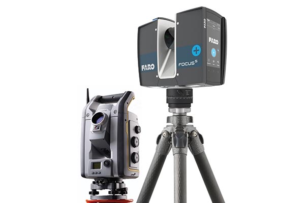
GeoImaging Ltd is a Cypriot leading company in the field of Surveying Services. Since 2002, using technologically advanced means of terrestrial surveying, its experienced manpower delivers high quality services to clients of both private and public sector.
Geoimaging ‘s department of survey studies provides services in all areas of surveying and field measurements such as :
- Surveying mapping Studies
- Digital Terrain Models (DTM)
- Border change controls between properties with common borders
- Elevation studies and leveling studies
- Mapping with photogrammetric methods
- Mapping of Monument – Archaeological Sites
- Mapping of large areas
- Engraving seashore – beach
OUR PORTFOLIO
Research and Development (R&D)
We are fortunate to partner with over 200 organizations across Europe in our ongoing research activities. Every project is an opportunity and through them, we have the ability to facilitate technology transfer across organizational types, operational sectors and geographical locations.

