GIS applications
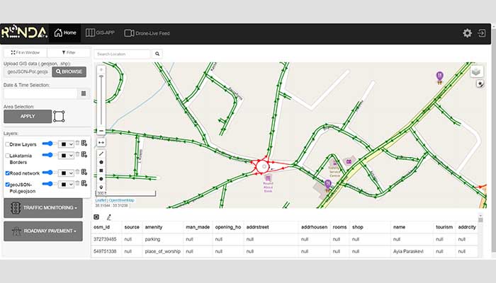
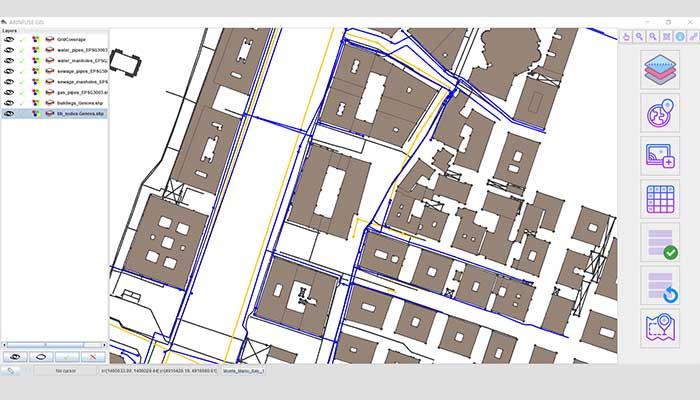
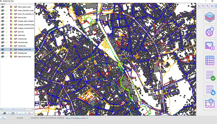
A geographic information system (GIS) is a system designed to capture, store, manipulate, analyse, manage, and present all types of geographical data. The key word to this technology is Geography – this means that some portion of the data is spatial; data that is in some way referenced to locations on the earth.
GIS can be used as a key solution in decision making processes, as well as for spatial data visualization. Many different types of information can be compared and contrasted using GIS software. The system can include data about people, such as population, income, or education level. It can include information about the landscape, such as the road network of an area, the location of rivers etc. GIS can also include information about the underground utilities networks such as water supply networks, gas lines etc.
GIS applications include both hardware and software systems. These applications may include cartographic data, photographic data, digital data etc. Geoimaging specializes in GIS. Its experienced and qualified staff of engineers provides products and services to customers worldwide.
Geoimaging GIS services include:
GIS Photo Gallery
GIS Projects by GeoImaging


