Development of a Geographical Information System (GIS) in Paphos Municiaplity
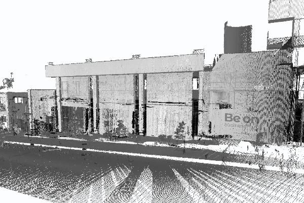
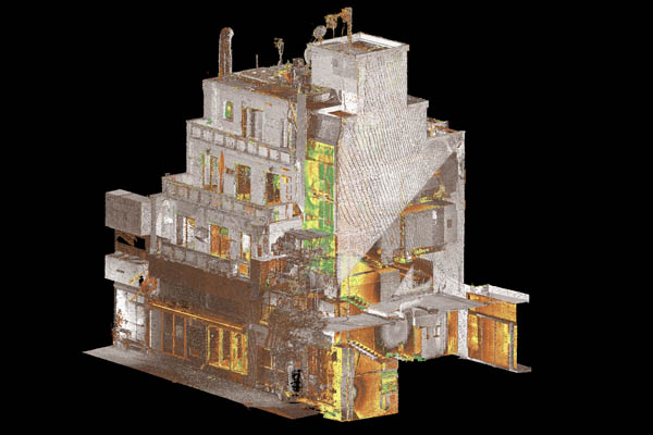
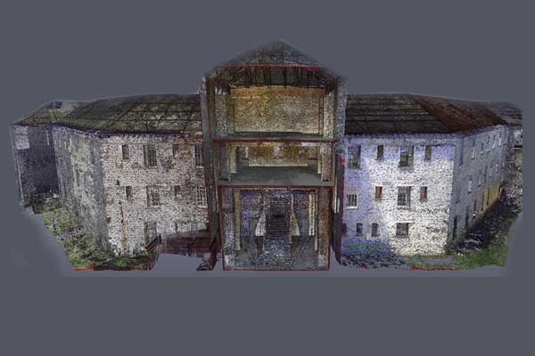
The municipality of Paphos has created a comprehensive geographic information system (GIS) as part of the smart city project. As part of the project, all public utility networks, parking lots, buildings and stores were mapped. In the frame of this comprehensive GIS, Paphos becomes the first city in Cyprus to establish an intelligent monitoring of public utility networks within its municipal boundaries.
The integrated system now gives the authorities the ability to make better decisions and maintain records on issues related to water utility network, control and manage the Municipality’s work and projects, and exchange information with the Department of Land and Surveying and provide online services to citizens.
The management of these data through maps, as well as their spatial analysis allows their immediate understanding and easy use, thus equipping the Local Authority with a tool for rapid decision-making on city-related issues such as property types, permits issued, property inspections, fees and so on. As regards the water utility network, this system will manage smartly and efficiently all hydrometers, so that these processes can be monitored and recorded electronically and automatically.