3D mapping and modeling of a large-scale Solar Park in Cyprus

Cyprus with approximately 326 days of sunshine a year is considered to be an excellent place to install solar farms for solar energy harvesting. Geoimaging ltd has recently involved in the planning process of one of the largest solar parks in Cyprus.
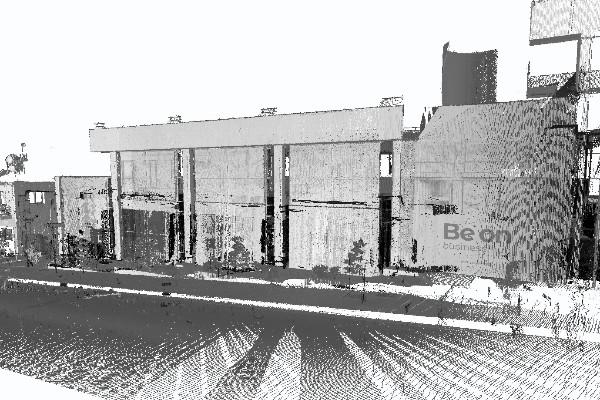
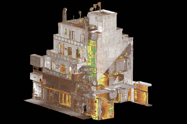
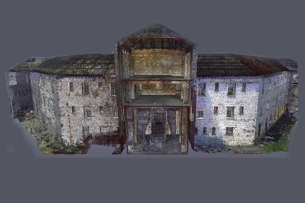
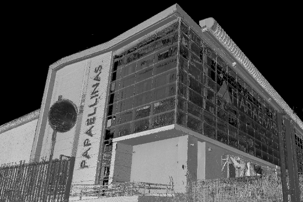
More specifically, our first and foremost role was to survey the area. In solar projects, a land survey is the first step in the designing process because it illustrates the current terrain relief and the elevations of the area. Based on the fact that in the specific project a mountainous area of approximately 6km² had to be mapped, 3D mapping was considered to be the most appropriate method. The reason is that with drones inaccessible, uneven, steep and very extensive areas can be mapped with high accuracy quickly and easily. Geoimaging team with an extensive experience and expertise in aerial mapping to create maps and 3D models offered our UAV mapping solutions. 4 different flights were scheduled in total in order to cover the whole study area. After acquiring the aerial images, the data were then processed properly in the office to create 3D models, large orthographic photomosaics, vector contour maps and terrain elevation models (DTMs).

As mentioned above, 3D mapping allowed us to produce a 3D model of the study area. In this way, we were able to visualize the surface of the terrain, as well as all the elements of a renewable energy site to be installed. The produced 3D model gives a photorealistic view of a site to understand a project’s feasibility, costs, and predicted energy yield.

The efficiency of a solar power installation is greatly impacted by the placement of the solar panels. Thus, with an aerial 3D survey, we were able to simulate how sunlight will fall upon the areas the solar panels are positioned in and how shadows will move over the site during a day. This allows us to come up with an optimal design that makes the most efficient use of the space. To achieve this, Geoimaging team has built a solar farm plan in a 3D virtual environment to enable simulations of the view of the project from any location at any time of the day. More specifically, Unreal Engine 5 and Unity were used for real time rendering of the 3D mesh of the area. In this way, we were able to simulate the sun with spatial accuracy and create a virtual tour based on elements of interaction and gamification. The 3D mesh was also integrated with the surrounding world terrain through the use of CESIUM. With the final 3D model, you can virtually navigate in the proposed solar farm area through 3D flights and see the development from any sight of view, at any height and at any time of the day. We also provided a kml of the 3D solar farm model so developers and stakeholders can use it in Google Earth to experience the solar farm, moving around the local area and viewing from different locations.

The 3D virtual tour we have created is also a powerful tool to better understand how solar farms could be seen from the surrounding local area and assess the visual impact might have on existing properties and infrastructure. The visual impact of a Solar Farm is a key consideration because it is one of the most significant hurdles that a solar developer must overcome to gain planning permission. Thus, 3D visualization is used to show to community members and planning authorities what the planned solar park will look like from key viewpoints to achieve community acceptance of the proposed project.
We’d love to help you with your next solar energy project!