HYBLAND PROJECT
The activation as well as the consequences of natural geohazards, such as landslides, are difficult to predict, as they depend on factors characterized by large uncertainties, such as the geological and geotechnical conditions, and the influence of human activities.
The proposed study aims at the development of a novel, reliable and comprehensive method for the estimation of the landslide susceptibility and hazard.
The individual goals of this study are: a) to investigate the failure mechanism of landslides and their spatio-temporal spread using an approach which combines the Earth Observation technology with the classical geotechnical research, b) to formulate an effective multimodal determinist approach for landslide susceptibility assessment, c) to develop a landslide susceptibility and hazard assessment method based on Machine Learning, d) to combine the two previous methods, effectively creating a novel, highly performing methodological approach.
The new method will be able to manage more effectively the uncertainties, giving reliable results even in areas where there is scarcity of landslide records.
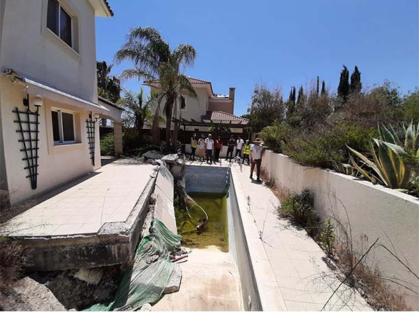
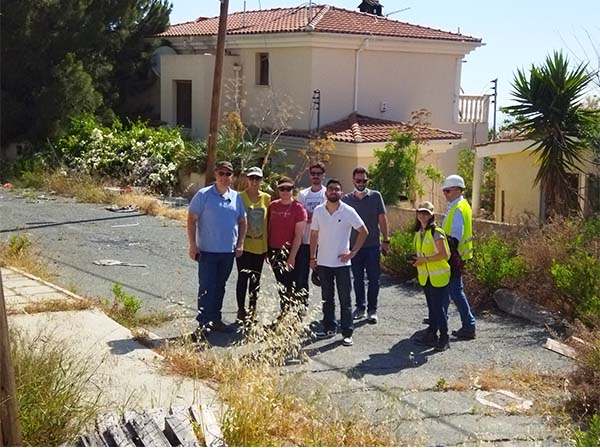
The testbed area for the development of the new approach will be the Paphos District , which is situated in the southwestern part of the island of Cyprus.
This area exhibits a very high density of landslide phenomena due its particular geology and relatively high seismicity.
The produced hazard maps will allow the identification of areas which are susceptible to landslides and, consequently, the results of this research will help the decision-makers in taking actions towards protecting the built environment from the landslide hazards, thus securing sustainable development. Eventually, after the validation of the new method and produced maps, this process can be applied in other parts of Europe suffering from similar phenomena.
Project Details
DURATION
32 months
PARNERS
3 partners from 2 countries
PROJECT TYPE
Commercial
WEBSITE
Project Gallery